Tropical Weather Forecast Center: Tropical Outlook
Active Tropical Cyclone Risk Areas
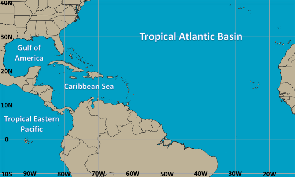
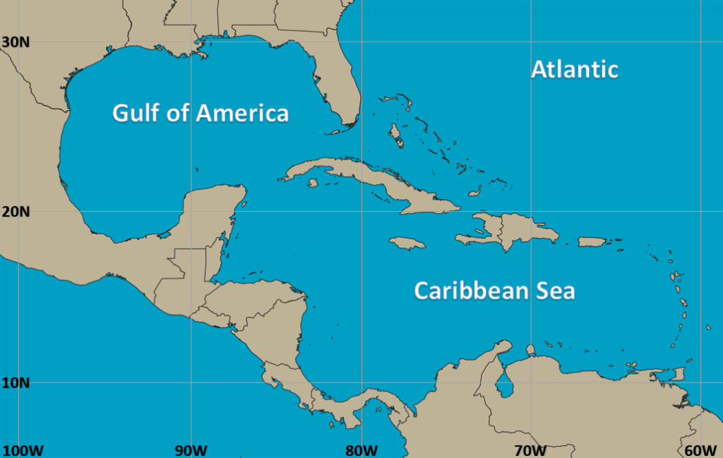
Atlantic Basin Tropical Cyclone Risk Area Information
System: No active systems
Percent Chance of Development within 48 Hours: N/A
Last Updated: May 4th, 2025/10:00 AM EDT
Forecast Discussion: There are currently no risk areas being monitored.
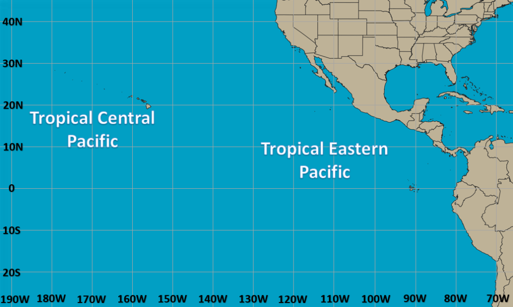
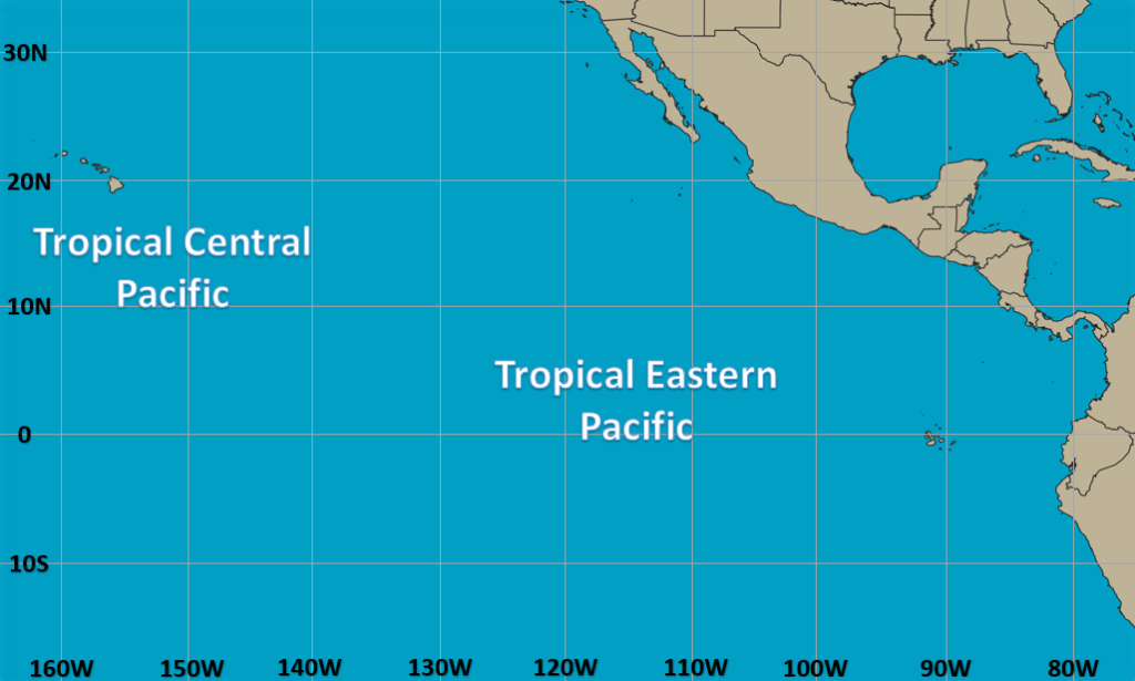
Eastern/Central North Pacific Tropical Cyclone Risk Area Information
System: No active systems
Percent Chance of Development Within 48 Hours: N/A
Last Updated: May 4th, 2025/10:00 AM EDT
Forecast Discussion: There are currently no active risk areas being monitored.
Interactive Tropical Cyclone Map for All Basins
2025 Atlantic Tropical Cyclone Names
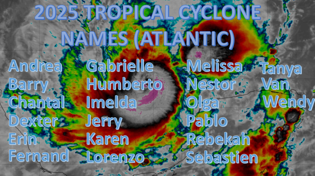
2025 Tropical Cyclone Names (Atlantic Basin) – Andrea, Barry, Chantal, Dexter, Erin, Fernand, Gabrielle, Humberto, Imelda, Jerry, Karen, Lorenzo, Melissa, Nestor, Olga, Pablo, Rebekah, Sebastien, Tanya, Van and Wendy.
2025 Eastern North Pacific Tropical Cyclone Names
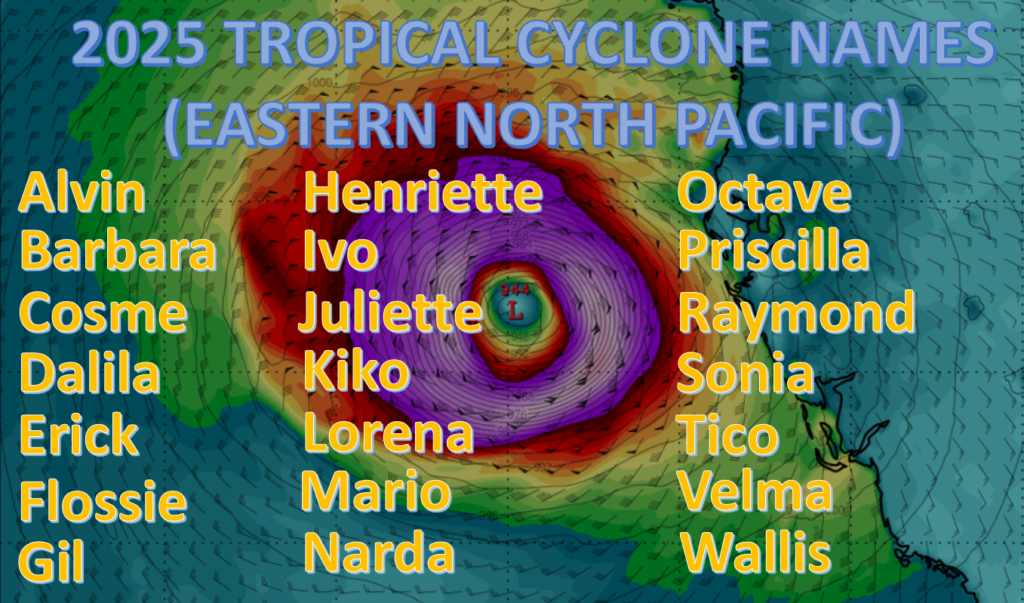
2025 Tropical Cyclone Names (Eastern North Pacific Basin) – Alvin, Barbara, Cosme, Dalila, Erick, Flossie, Gil, Henriette, Ivo, Juliette, Kiko, Lorena, Mario, Narda, Octave, Priscilla, Raymond, Sonia, Tico, Velma, Wallis, Xina, York and Zelda.
Current Tropical Weather Alerts
Gale Warning
A gale warning is issued when 1-minute average sustained surface winds of 34 kt – 47 kt (39 mph – 54 mph) are either forecast or occurring (not necessarily associated with a tropical cyclone)
High Wind Warning
A high wind warning is issued when 1-minute average sustained surface winds of 35 kt (40 mph) or greater and also lasting for 1 hour or longer, or winds gusting to 50 kt (58 mph) or greater for any duration are either forecast or observed over land.
Invest
A weather system that a tropical cyclone forecast center such as the (National Hurricane Center, Central Pacific Hurricane Center, and the Joint Typhoon Warning Center) is interested in collecting data from. After a system is designated an invest, data collection/processing is initiated on a number of government and academic websites, including the Naval Research Laboratory (NSL) and the University of Wisconsin Cooperative Institute for Meteorological Satellite Studies (UW-CIMSS). The designation of an invest does not necessarily infer any type of probability that a system will develop into a Tropical Cyclone.
Potential Tropical Cyclone (PTC)
The term potential tropical cyclone (PTC) is used to reference a system that is not yet a tropical cyclone, but which poses a threat of bringing tropical storm or hurricane conditions to land areas in 72 hours. (NEW this year as previous years PTC advisories could only be issues 48 hours in advance). This new method provides the public with much longer lead times, hopefully resulting in less loss of life and property.
Tropical Storm Watch
A tropical storm watch is issued when sustained winds of 34 – 63 knots (39 – 73 mph) are possible within 48 hours in association with a tropical, subtropical, or post-tropical cyclone.
Tropical Storm Warning
A tropical storm warning is issued when sustained wind speeds of 34 – 63 knots (39 – 73 mph) are expected within 36 hours in association with a tropical, subtropical, or post-tropical cyclone.
Hurricane Watch
A hurricane watch is issued when sustained winds of 64 knots (74 mph) or greater are possible in association with a tropical, subtropical, or post-tropical cyclone. A hurricane watch is issued 48 hours prior to the onset of tropical storm force winds.
Hurricane Warning
A hurricane warning is issued when sustained winds of 64 knots (74 mph) or greater are expected and in association with a tropical, subtropical, or post-tropical cyclone. A hurricane warning is issued 36 hours prior to anticipated onset of tropical storm force winds. It is important to note that a warning can remain in effect when dangerously high water or a combination of high water and large waves continue, even if winds have subsided below the hurricane threshold.
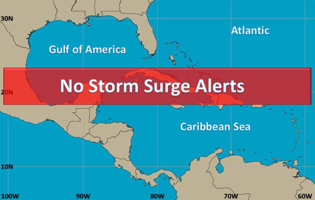
There are currently no active storm surge alerts, we will continue to monitor the tropics and update you when necessary!
Storm Surge Watch
A storm surge watch is issued when the possibility of life-threatening inundation from rising water moving inland from the shoreline within 48 hours in association with an ongoing or potential tropical cyclone (PTC), a subtropical cyclone, or a post-tropical cyclone. A watch may be issued earlier when conditions warrant.
Storm Surge Warning
A storm surge warning is issued when the danger of life-threatening storm surge from rising water moving inland from the shoreline is expected within 36 hours in association with an ongoing or potential tropical cyclone (PTC), a subtropical cyclone, or a post-tropical cyclone. A warning may be issued earlier when conditions warrant.